How California makes it harder to build homes where people drive less

California lets homebuilders fast-track housing in certain “low-VMT neighborhoods”—areas where new residents are expected to drive less than average (low vehicle miles traveled). The idea: support climate goals and housing access at the same time. But a new report shows the state’s current approach often excludes the places where housing could do the most good.
In UC Berkeley’s Terner Center’s new report, Aligning Housing with Climate Goals: The Importance of Measuring VMT, Rachel Strangeway and Zack Subin investigate how different models of estimating VMT reshape which neighborhoods qualify and what that means for housing, emissions, and equity.
Key Takeaways:
- The state’s current VMT model misses large parts of urban California that are potentially eligible for fast-tracked housing. Another tool, Replica, identifies 62% of Los Angeles residents in low-VMT areas. The State model identifies just 40%.
- The state usually compares neighborhoods to their region’s average VMT. But in already low-driving areas like the Bay Area, this makes it harder for neighborhoods to qualify. Using a statewide average would expand neighborhood eligibility by 40% in the Bay Area.
- Current methods often miss high-opportunity neighborhoods. These are places with good schools, jobs, and services. Other models’ results overlap more with California’s Opportunity Map, while the State model often fails to include them.
The authors compared three models estimating how much people drive in each neighborhood:
- The State model, which draws from pre-pandemic regional government data
- Replica, which simulates travel using anonymized 2023 mobile device data
- LATCH, which draws on a 2017 national household travel survey
They marked areas with at least 15% lower VMT per person than regional or statewide averages. To check for accuracy, they compared each model’s outputs with traffic volume data from the Federal Highway Administration (FHWA) and Fehr & Peers, which provides granular VMT estimates for planners. Here’s what they found:
Dense, climate-friendly neighborhoods are being excluded: The Replica model identifies parts of Los Angeles and San Jose where people already drive less. The State model often doesn’t, largely due to outdated or incomplete data from regional agencies. This means neighborhoods that already support lower emissions can’t access faster permitting.
Regional baselines penalize places doing the right thing: The Bay Area drives less than most regions. But when low-VMT is defined relative to an already-low regional average, many qualifying neighborhoods fall just short. Switching to a statewide comparison would let the state reward, not punish, these areas for better land use and transit access.
Fair housing goals fall through the cracks: The State model identifies many inland, car-dependent neighborhoods, but often excludes higher-resource areas with strong schools and job access. Replica better aligns with the California Tax Credit Allocation Committee’s (CTCAC) Opportunity Map, showing potential for housing policy that supports both integration and sustainability.
California should: (1) modernize its VMT models using current, public data; (2) allow streamlining based on walkability or density, not just VMT; and (3) use statewide baselines for VMT in already low-VMT regions to advance both housing and emissions targets. Mapping low-VMT areas the wrong way means blocking the right kinds of homes in the right kinds of places. California can’t afford that mistake.
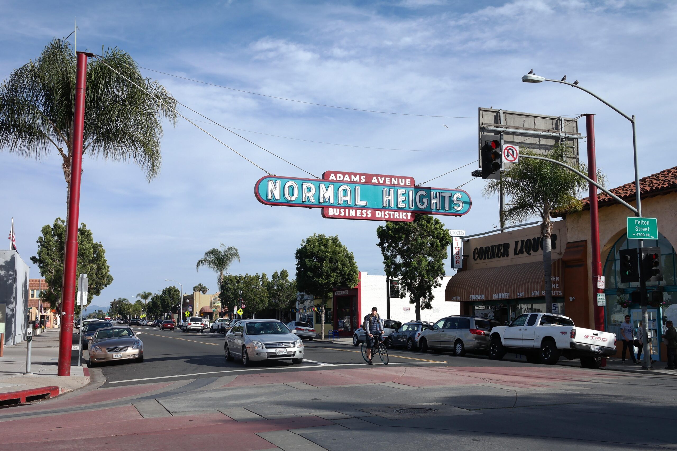
Photo by Visitor7, CC BY-SA 3.0 https://creativecommons.org/licenses/by-sa/3.0, via Wikimedia Commons