Playing With Fire: How Restrictive Zoning Exacerbates Climate Risk
Over the past century, the bulk of California’s housing has been built on the suburban periphery. In recent years, much of this growth has taken place in parts of the state prone to regular fires and floods, putting many California families at risk. This growth pattern is not an accident, but the intended outcome of land-use regulations that make it all but impossible to build in existing urban areas, driving up housing costs in cities and forcing nearly all new housing out into what’s known as the “wildland-urban interface,” or WUI.
A new job market paper by UCLA economics Ph.D. candidate Augusto Ospital attempts to quantify the impact of restrictive land-use regulations on housing prices and exposure to fire risk in San Diego using a sophisticated quantitative model. Ospital finds that land-use regulations in San Diego significantly increase rents and help to explain why many San Diego households have been forced to move to at-risk areas.
Key takeaways:
- By blocking new housing, restrictive land-use regulations raise city-level rents in San Diego by an average of 28 percent.
- By blocking infill housing in particular, restrictive land-use regulations explain 7 percent of San Diego residents living in fire-prone areas.
- Absent land-use liberalization to allow more infill housing, mounting fire risk will affect nearly twice as many San Diego households in the years to come.
- Policymakers should remove regulatory barriers to infill housing to ensure that no Californian is forced to live in an area vulnerable to severe climate risks, like wildfires.
As climate change accelerates, a larger share of California’s exurban periphery will be subject to regular wildfires. Indeed, many existing suburbs and rural communities are already at risk, as the past few years have revealed. And yet, much of the housing growth in California, as in many states, continues to occur in these at-risk areas, putting families at risk and state and local governments on the hook for insurance, evacuation, and reconstruction costs.
Why does a disproportionate share of housing production continue to occur in at-risk areas? To answer this question, this paper focuses on San Diego, a California city with significant housing cost pressures and wildfire risk along the metropolitan area’s eastern perimeter. Ospital finds evidence that restrictive land-use regulations—operationalized as limits on the number of dwelling units permitted and single-family zoning—are at least partly to blame.
To understand their impact, Ospital models how the complete removal of these land-use restrictions would affect rents and the rate of residents living in at-risk areas. The model suggests that if these restrictions were removed, rents would fall by 28 percent. Concurrently, the number of residents living in central areas would rise and the number of residents living on the periphery would fall. Specifically, the model estimates that there would be a 6.9 percent reduction in the population facing wildfire risk. In this scenario, there would be a net welfare gain of $791 million per year.
As California wrestles with the twin crises of housing affordability and climate change, state and local policymakers should take these findings seriously. Ospital concludes that if there is no change in land-use regulations, the share of Californians living in at-risk areas will continue to rise. Few can doubt that California needs to be building far more homes—but unless state and local policymakers remove barriers to infill housing production, too much of this housing will be built in areas at risk of climate change.
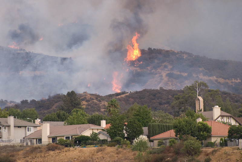
Photo of a wildfire near a suburban development by Cal FIRE via Flickr